Precision agriculture
Precision agriculture drones are useful only when the flight changes the field decision.
The short version: a precision ag drone is not valuable because it takes aerial images. It is valuable when those images trigger a scouting pass, a spray decision, a drainage repair, a stand-count call, or a better conversation with the agronomist.
Precision agriculture drones sit between the boots-on-ground scout and the full farm management platform. They can find crop stress earlier than a pickup windshield, document uneven emergence, map wet holes, and direct a crew toward rows that deserve inspection. They do not replace agronomy, and they do not make weak prescriptions strong by being airborne.
Flight to decision
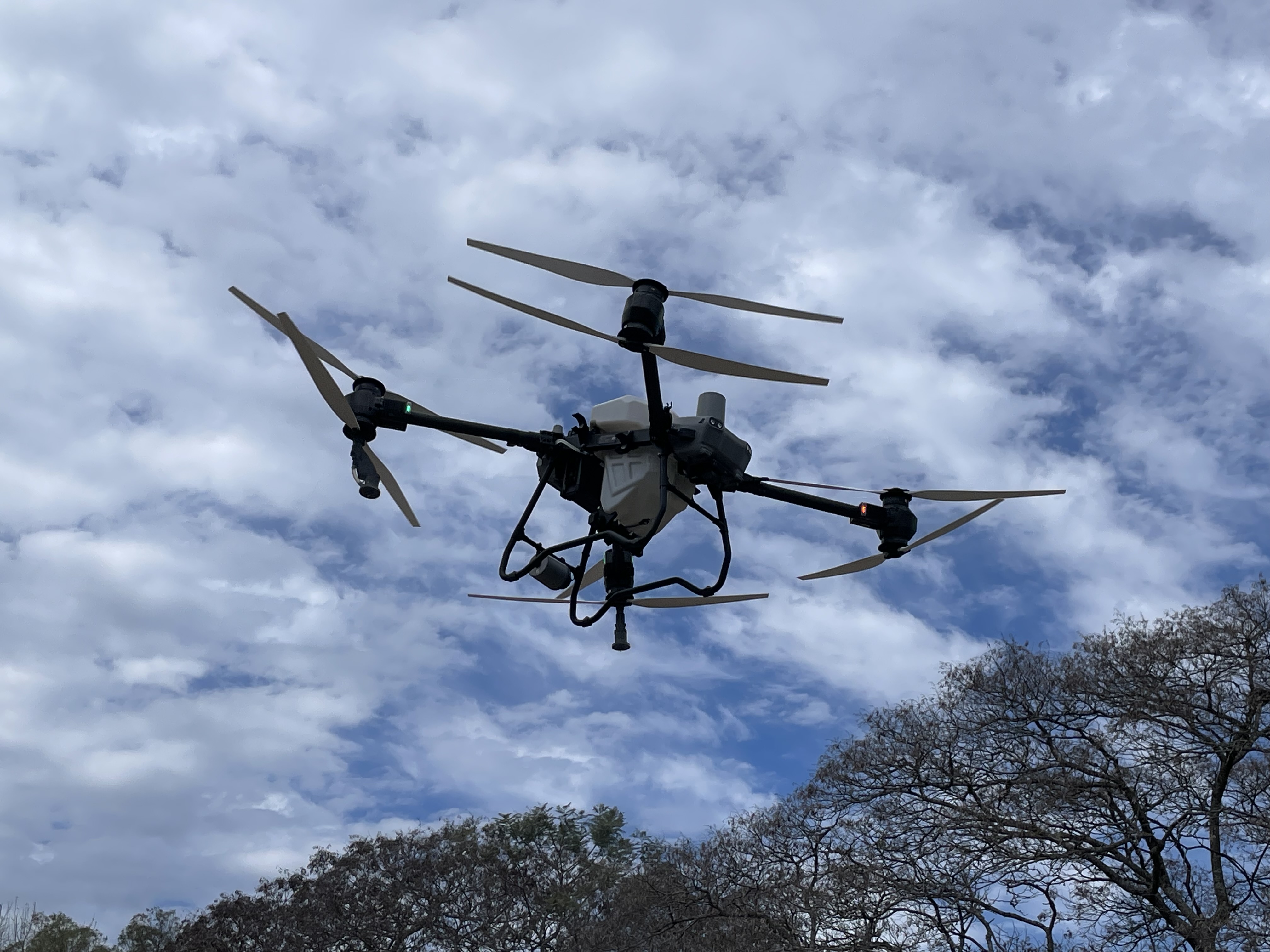
01
Capture
Fly the field with a named question.
02
Process
Build the map or image set cleanly.
03
Inspect
Flag anomalies worth a walk.
04
Decide
Choose scout, spray, irrigate, replant, or wait.
05
Act
Record what changed after the flight.
The three jobs that justify the aircraft
| Decision | Best fit | Watch point |
|---|---|---|
| Scout faster | Finding areas that deserve a human check: disease pressure, poor emergence, storm damage, irrigation misses. | A pretty image without a ground-truth pass is still a guess. |
| Map variability | Building zones for crop vigor, drainage, stand count, or treatment planning. | Resolution and repeatability matter more than cinematic footage. |
| Document work | Before/after evidence for replant decisions, insurance conversations, or custom service reporting. | Documentation has to be dated, organized, and tied to a field boundary. |
What operators should buy around
For mapping and scouting, the aircraft is only one part of the system. Battery life, sensor choice, flight planning, upload time, orthomosaic processing, and the ability to hand the result to someone who can act on it all matter. A farm that only needs quick crop checks may be better served by a dependable RGB drone than by a more expensive sensor stack that nobody has time to interpret.
Multispectral imagery can be valuable, but it is not magic. NDVI-style outputs show vegetation differences; they do not automatically diagnose nitrogen, disease, insects, compaction, or water stress. The best operators treat maps as a triage layer: fly, flag anomalies, walk the field, then decide.
Sensor choice without the brochure fog
| Metric | Value | Why it matters |
|---|---|---|
| RGB camera | Standard visual imagery | Best first buy for scouting, storm damage, lodging, washouts, equipment tracks, and simple documentation. |
| Multispectral | Indexes such as NDVI/NDRE | Useful for comparing crop vigor zones, but the map still needs ground-truthing before an agronomic diagnosis. |
| Thermal | Canopy temperature patterns | Can support irrigation or stress checks, but timing, weather, and calibration discipline matter. |
| RTK/PPK positioning | Higher positional repeatability | Worth considering when repeatable maps, stand counts, boundaries, or service reporting require tighter alignment. |
Good mission
Fly 160 acres after a storm, mark the lodged strips, walk the worst zones, and decide whether the field needs a re-scout, claim photos, or a management note before the next pass.
Weak mission
Fly the whole farm because the weather is nice, generate a gallery of screenshots, then leave the files unnamed until nobody remembers which field was which.
Where drone scouting beats satellite imagery
Drone imagery wins when timing, resolution, or clouds make satellite data too blunt. A drone can fly under cloud cover, focus on a problem field, and produce detail at plant-row scale. Satellite imagery wins when the job is broad monitoring across many acres and the grower can wait for the revisit cadence.
The practical split is simple. Use satellite or platform imagery to notice broad patterns across many acres. Use the drone when the decision is closer to the ground: a seed trench problem, tile-line wetness, sprayer miss, wind lodging, hail edge, pivot nozzle issue, or a crop stage check that needs a fresh look today rather than next pass.
Sensor choice: RGB first, multispectral when the workflow earns it
RGB imagery is often enough for emergence checks, lodging, washouts, equipment tracks, obvious weed patches, and customer documentation. Multispectral sensors add value when the operator has a repeatable process for calibration, timing, cloud conditions, crop stage, and interpretation. They are weakest when bought as a shortcut to agronomy.
The commercial test is simple: will the extra sensor cost change treatment zones, scouting labor, or customer reporting often enough to matter? If not, spend the budget on training, batteries, or better software discipline before chasing a richer sensor stack.
Data handling is part of the aircraft
Precision ag teams need a naming convention, field boundary discipline, and a handoff path. A folder full of unnamed flights becomes useless by the time a grower needs to compare a storm event, a replant decision, or a fungicide pass. The minimum useful record is field name, date, crop, growth stage, mission purpose, and the decision made after review.
A simple folder rule beats a complex platform nobody maintains: farm-field-date-crop-purpose. Add the flight altitude, sensor, and any processing notes if the map will be compared later. For service work, save the client-facing image separately from the raw capture so the deliverable can be found without digging through the pilot's card dump.
What this means in the field
The best precision-ag drone programs are boring in the right way. They fly the same kinds of missions repeatedly, compare the output against field observations, and stop using images that do not change action. That discipline is what separates a crop tool from a camera hobby.
If a map flags a low-vigor strip, the next step is not automatically nitrogen, fungicide, or a variable-rate prescription. It may be compaction, tile, seed depth, pest pressure, herbicide injury, disease, water, or a calibration problem. The drone narrows the search. The field diagnosis still happens with agronomy, crop stage, weather, and ground observations.
The field test before you scale
Pick one crop, one recurring decision, and one field boundary. Fly the same field three times in the season. If the drone output changes a scouting route, spray pass, irrigation decision, replant call, or customer report, the workflow has earned more attention. If it only creates screenshots for a meeting, keep it small.
- Pick one field where the decision already costs money.
- Fly the field before the crop hides the problem.
- Walk three flagged zones and one normal zone.
- Record the decision made after the flight.
- Repeat later in the season and compare whether the drone saved time.