Ground-truth route
Walk the two worst zones and one normal zone before naming the cause.
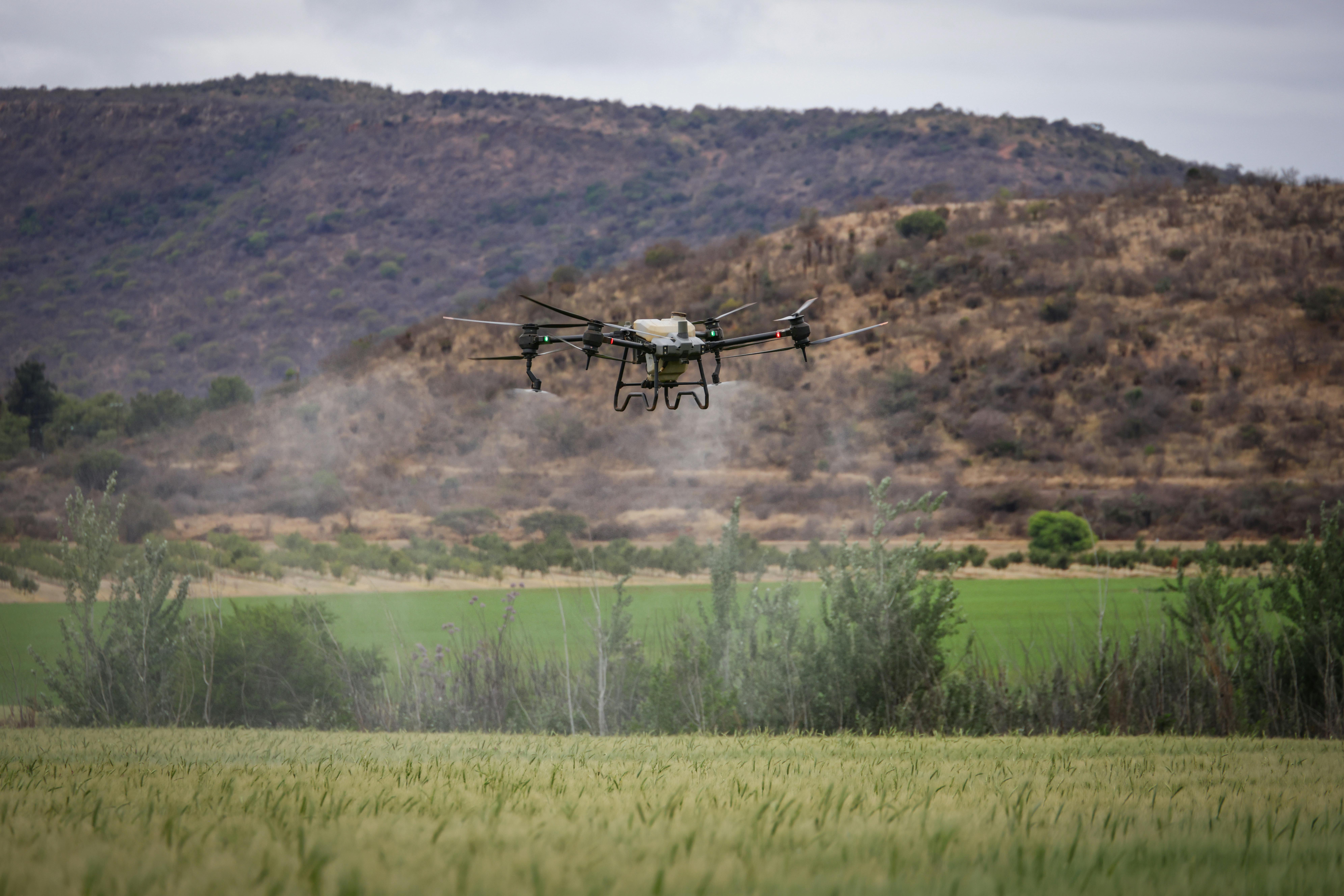
Agriculture
Use this hub to separate useful drone workflows from aerial theater: scouting, mapping, crop-health imagery, stand counts, drainage checks, and spray targeting.
Decision board
The useful output is not another image layer. It is a route to walk, a water problem to separate, an application decision to hold or run, or a dated record that proves what changed.
Walk the two worst zones and one normal zone before naming the cause.
Separate tile, pivot, compaction, and low-spot problems before spending on inputs.
Only move to spray math when the label, crop stage, and target zone support it.
Save the dated image, crop stage, field boundary, and decision for later comparison.
Precision agriculture content gets thin when it stops at “drones can help farmers.” This section stays closer to the decision chain: identify variability, verify it on the ground, decide whether action is justified, and record what changed.