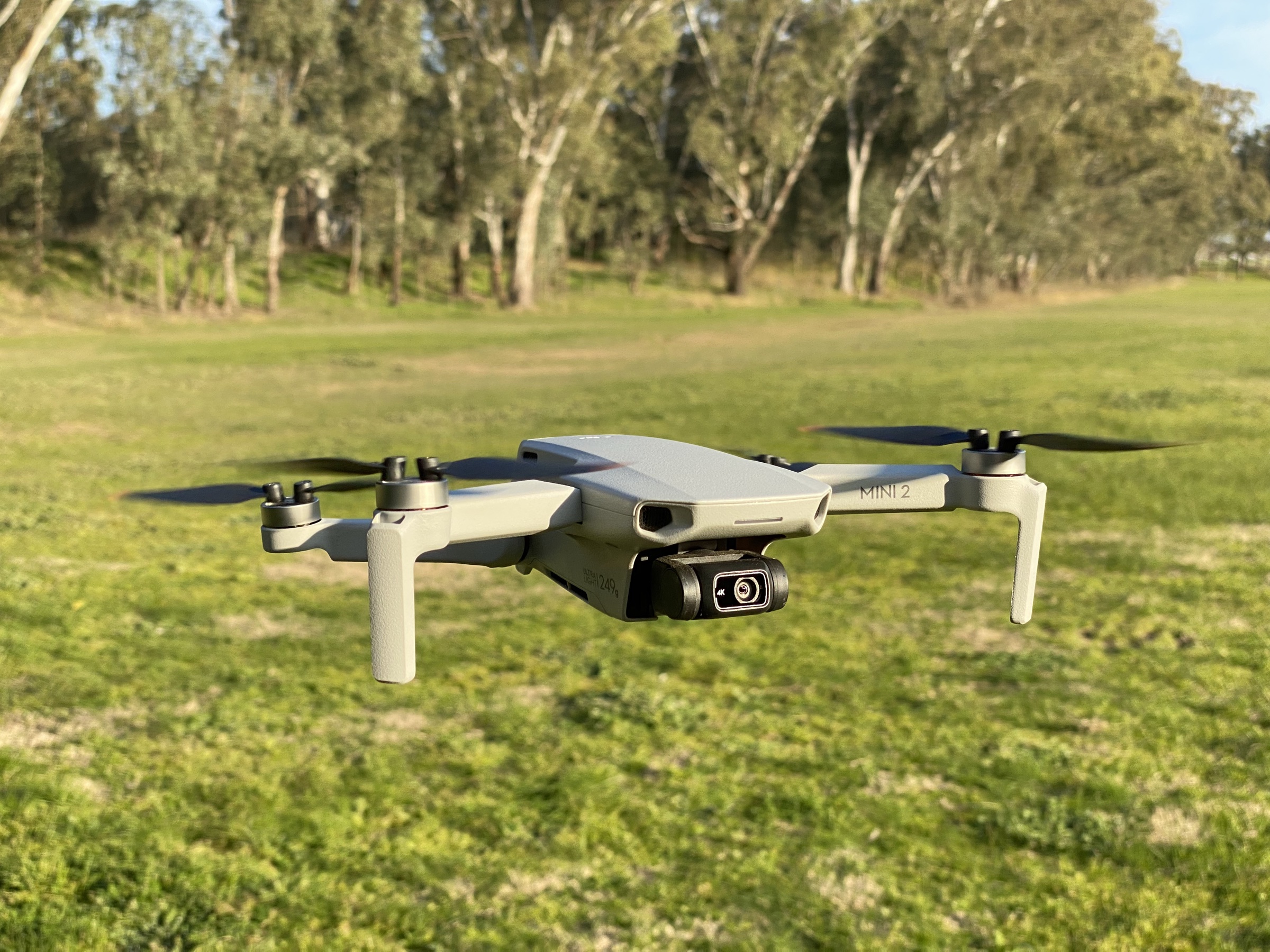
Flight lab
LAANC for recreational flyers: how to fly legally in controlled airspace.
The recreational side of the FAA’s airspace-authorization system. Same apps, same maps, same approvals Part 107 pilots use — framed for the hobbyist who didn’t know they were allowed.
Last checked: May 17, 2026
What a LAANC request actually takes — on the clock
0–10 s
Open the app
Aloft, Avision, or B4UFLY. If you don't have an account, add 60 s for sign-up (one-time).
10–25 s
Drop the pin
Tap your takeoff location or let GPS auto-fill it. The app overlays the FAA UAS Facility Map grid.
25–45 s
Confirm the cell
If the cell is green, note the ceiling (e.g. “200 ft AGL”). If it’s zero-altitude, stop — LAANC won’t auto-approve here.
45–80 s
Enter flight details
Altitude (at or below ceiling), start/end time, duration. Pick the recreational mode, not Part 107.
80–90 s
Submit
One tap. The system queues your request with the controlling ATC facility.
90–120 s
Approval lands
Green-grid auto-approvals usually return in under a minute. Save the screenshot — it travels with you, not the drone.
LAANC stands for the Low Altitude Authorization and Notification Capability. It is the FAA’s automated airspace authorization system for drones flying under 400 ft AGL in controlled airspace around airports. The system launched in 2017 as Part 107-only; the FAA opened it to recreational flyers in mid-2019. Seven years later, the recreational-side rollout is still under-covered, because most drone-content publishers are pitched at commercial operators.
For a recreational pilot, LAANC is the only legal way to fly recreationally in most controlled airspace around towered airports. Without it, you’re grounded inside a roughly 5-nm circle of every Class B/C/D field. With it, the authorization takes about two minutes on a phone.
The airspace classes that require authorization
Four airspace classifications matter for drone flying. Class G — uncontrolled — is most of the country away from airports and is what standard recreational rules cover with no authorization required. The other three are where LAANC enters.
| Metric | Value | Why it matters |
|---|---|---|
| Class B | Major airports (e.g. LAX, JFK, ORD) | LAANC available. Often crosses dense urban areas — many recreational pilots in major cities are flying in Class B without realizing it. |
| Class C | Mid-size airports with operating control tower | LAANC available. Smaller footprint than Class B but still extends several nautical miles from the field. |
| Class D | Smaller airports with operating control tower | LAANC available. Roughly a 5-nm cylinder around the field, surface to ~2,500 ft AGL. |
| Class E surface | Controlled airspace down to the surface around specific airports | LAANC available for designated areas. Often where you wouldn’t expect a restriction — flat rural areas with an instrument-approach airport nearby. |
The FAA publishes per-airport grid maps — UAS Facility Maps — showing approved maximum altitudes for each grid cell. A green cell with “200” means LAANC authorization is automatic for any flight at or below 200 ft AGL in that cell. A zero-altitude cell means LAANC won’t auto-approve any flight there; you’d need the Further Coordination Process.
The three apps worth using
The FAA doesn’t host LAANC requests directly. A short list of FAA-approved partner platforms — UAS Service Suppliers, or USS — handle them. Recreational flyers use one of three.
Aloft (formerly Kittyhawk)
The most-used USS app overall. Free for LAANC, clean iOS and Android interfaces, supports both recreational and Part 107 requests. Optional paid features for commercial users aren’t required for the recreational free tier. Account creation is required.
Avision LAANC
Free, lighter-weight alternative. Less polished interface than Aloft but functionally complete. Useful as a backup app when Aloft has an outage (rare, but it has happened during peak airshow periods).
B4UFLY
The FAA’s own app, free, primarily designed as a location-and-status checker. Supports LAANC requests through a partner integration. Lower friction for “is this spot OK to fly?” questions than for actual submission; many recreational pilots use B4UFLY for planning and Aloft for execution.
When LAANC won’t approve you
Recreational LAANC vs Part 107 LAANC
Functionally, almost nothing differs. Same apps, same grid maps, same authorization windows, same near-instant approvals. The single user-visible difference is the rules you’ve agreed to operate under for the flight. A recreational LAANC authorization is valid only if the flight is genuinely recreational — if you cross any of the tripwires that turn a flight commercial, the recreational LAANC doesn’t cover the activity. You’d need a Part 107 LAANC for the same airspace, submitted under the Part 107 ruleset.
Holding a Part 107 certificate doesn’t change the LAANC system; it changes which mode you select at submission. Recreational flyers don’t need Part 107 to fly in controlled airspace — they need LAANC. Two independent layers.